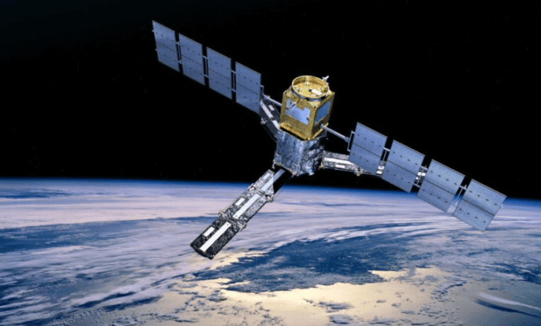
Synthetic aperture radar (SAR) has become one of the most valuable technologies in modern Earth observation. Unlike traditional optical imagery, SAR systems can capture data regardless of cloud cover, weather conditions, or lighting limitations. This capability makes SAR an important resource for organizations involved in environmental monitoring, infrastructure management, disaster response, agriculture, defense, maritime awareness, and scientific research.
As the demand for reliable geospatial intelligence continues to grow, understanding what makes a strong SAR data source is increasingly important. The best SAR solutions combine data quality, accessibility, coverage, and analytical capabilities to support effective decision-making.
Understanding SAR Technology
SAR is a form of active remote sensing that uses radar signals to generate detailed images of the Earth’s surface. Because SAR systems generate their own signals rather than relying on sunlight, they can collect information both day and night. The technology is particularly useful in challenging conditions where optical imagery may be limited. Clouds, smoke, haze, and darkness have far less impact on SAR data collection, allowing users to maintain visibility when traditional imaging methods may struggle. This reliability has made SAR a critical component of many Earth observation programs.


Why SAR Data Is Valuable
The ability to gather information consistently is one of SAR’s greatest strengths. Organizations use SAR data to monitor changes over time, assess infrastructure, evaluate environmental conditions, and improve situational awareness across large geographic areas.
SAR imagery can support applications such as:
- Land use monitoring
- Flood assessment
- Infrastructure inspection
- Environmental analysis
- Coastal monitoring
- Forestry management
- Disaster response planning
- Maritime observation
Its versatility makes SAR one of the most widely used remote sensing technologies available today.
Key Factors When Evaluating SAR Data Sources
Not all SAR data sources offer the same capabilities. Organizations should evaluate several important factors before selecting a provider or platform.
Data Quality
High-quality SAR imagery provides greater detail and more reliable information. Resolution, image clarity, revisit frequency, and processing quality all influence the usefulness of the final data product. Organizations should consider how the available imagery aligns with their specific analytical requirements.
Coverage and Availability
Geographic coverage is another critical consideration. Some projects require access to global datasets, while others focus on specific regions or areas of interest. The ability to access imagery quickly and consistently can significantly impact operational efficiency.
Ease of Access
As satellite technology becomes more accessible, users increasingly expect intuitive platforms that simplify the process of discovering, acquiring, and analyzing geospatial data. A user-friendly experience can help organizations spend less time searching for data and more time generating valuable insights.
Integration and Analysis Tools
Modern users often need more than raw imagery alone. Analytical tools, mapping capabilities, visualization features, and data management functions can greatly enhance the value of SAR information. Integrated platforms make it easier to transform data into actionable intelligence.
The Growing Importance of Commercial Platforms
Commercial satellite data providers have helped expand access to Earth observation technologies, including SAR imagery. These platforms make it possible for organizations of all sizes to leverage satellite intelligence without requiring extensive internal infrastructure.
By streamlining access to imagery and geospatial tools, commercial services are helping researchers, businesses, and public-sector organizations make better use of satellite-derived information. The increasing availability of commercial solutions has contributed significantly to the growth of the Earth observation industry.
Accessing SAR Data Efficiently
For many organizations, efficiency is just as important as data quality. The ability to locate, acquire, and analyze imagery quickly can have a major impact on project outcomes. Platforms such as SkyFi help simplify access to satellite imagery and geospatial intelligence by providing users with streamlined tools for discovering and obtaining Earth observation data. By reducing barriers to access, organizations can focus more on analysis and decision-making rather than navigating complex procurement processes.
As demand for satellite-derived insights continues to increase, accessible platforms play an important role in supporting a wide range of industries and applications.
See also: Cleveland Business Tech Services: Local Expertise, Global Infrastructure
Future Trends in SAR Data
The future of SAR technology looks promising. Advances in satellite capabilities, data processing techniques, artificial intelligence, and cloud-based analytics are expected to further expand the value of SAR imagery. Improved resolution, faster delivery times, and more sophisticated analytical tools will likely make SAR even more useful for monitoring dynamic environments and supporting complex decision-making processes. As technology evolves, organizations will gain access to increasingly powerful Earth observation capabilities.
Final Thoughts
SAR data has become an essential resource for organizations seeking reliable and consistent Earth observation information. Its ability to operate independently of weather and lighting conditions provides unique advantages that support a wide range of applications.
When evaluating SAR data sources, organizations should focus on factors such as image quality, accessibility, geographic coverage, and analytical capabilities. By selecting solutions that align with their operational needs, users can maximize the value of satellite-derived intelligence and improve their ability to make informed decisions in an increasingly data-driven world.


